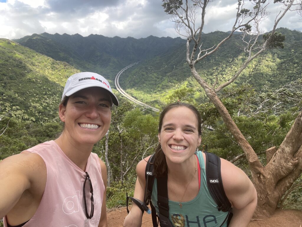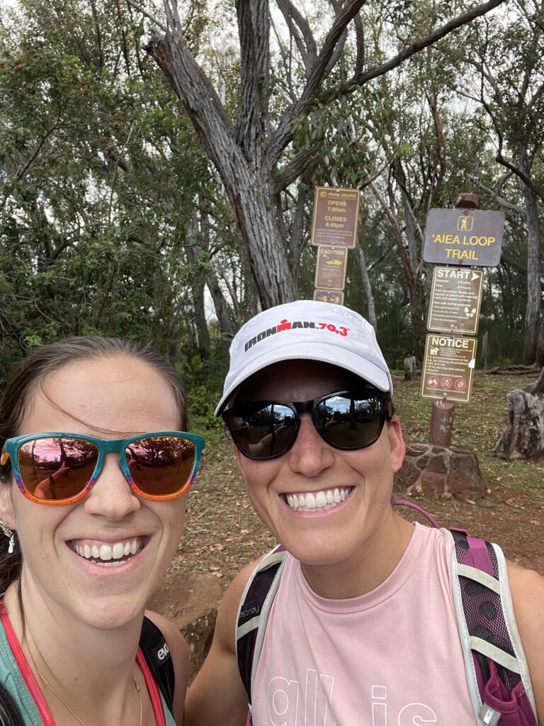
I’m not sure if I mentioned this but I’m head KOSC hiking coordinator. After the last debacle that was Old Pali, I really wanted to scope out this hike before doing with with a group. So Jess and I went for a hike to check it out! It’s five miles long, but not a lot of elevation gain (my watch recorded 866ft total). The difficulty here is the length and the technical side, which it can be really muddy. When we went, it was fortunately not muddy at all. However, the hike I have planned is for later in November, and November is supposed to be really rainy…
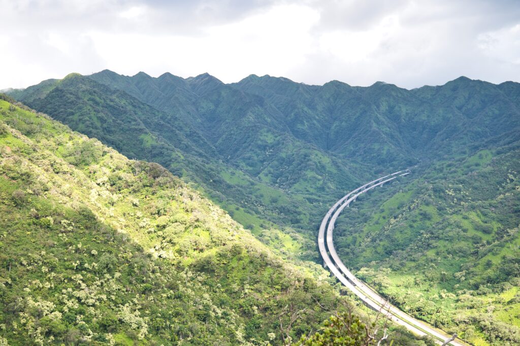
Anyway, per recommendations on AllTrails, we parked at the bottom end of the loop and walked up toward the entrance. This way, you can end without having to walk back up the road to your car. Great advice. To get to the hike itself you enter a park/campground and drive up quite a ways, so the views are pretty spectacular without having to work hard.
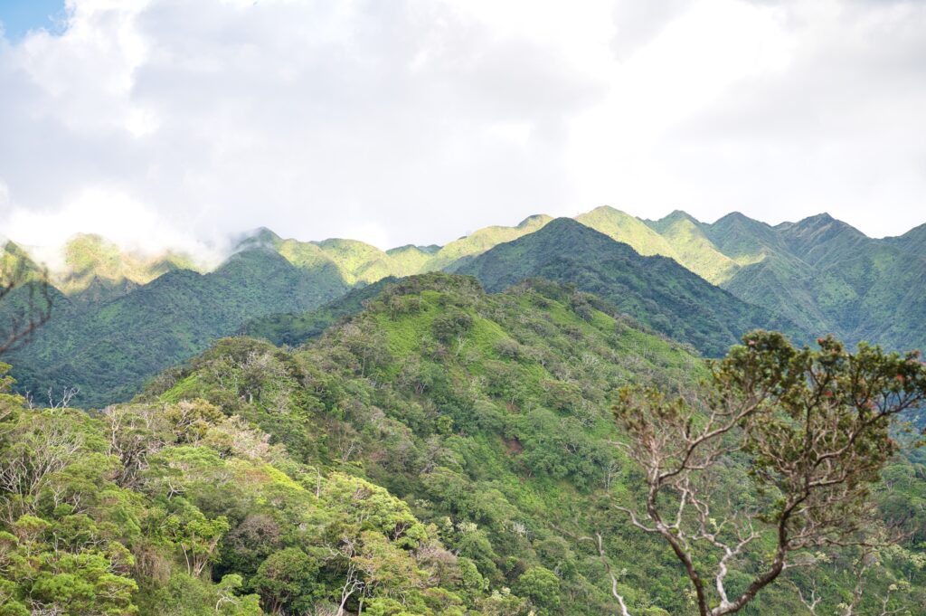
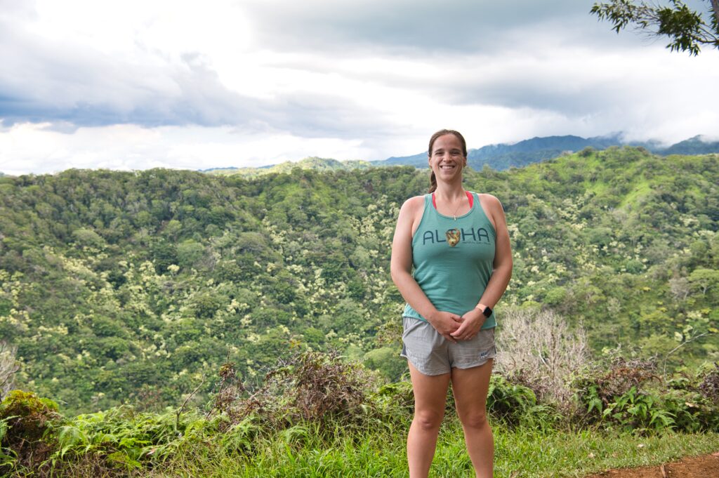
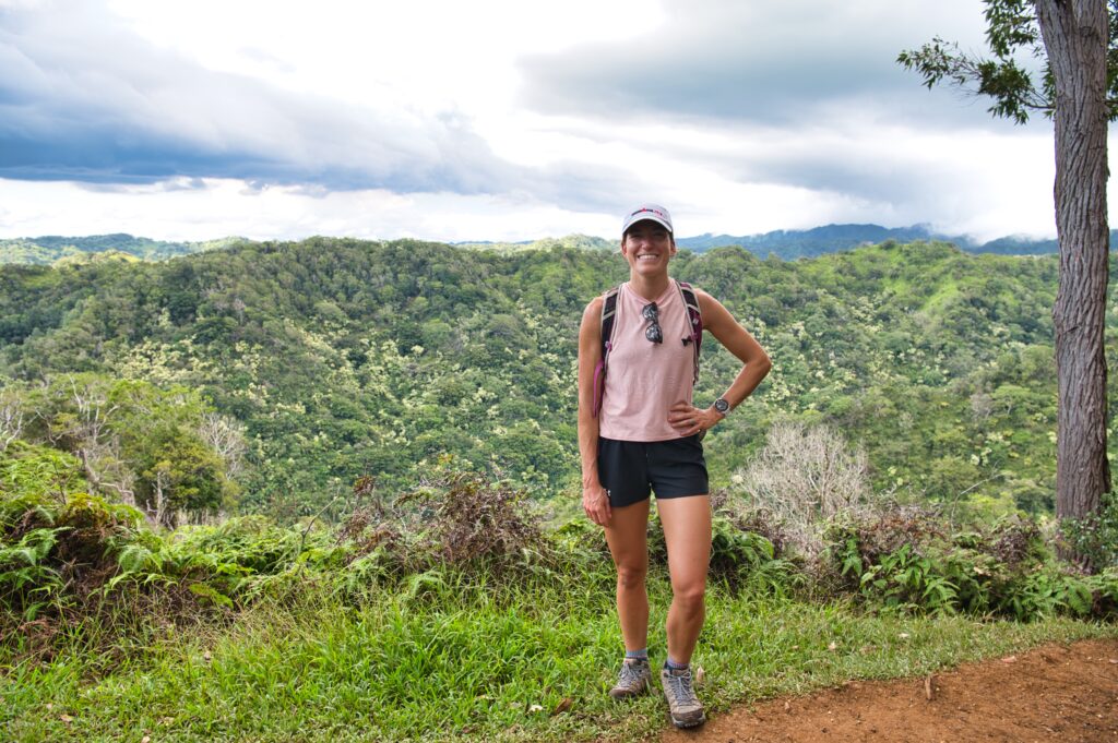
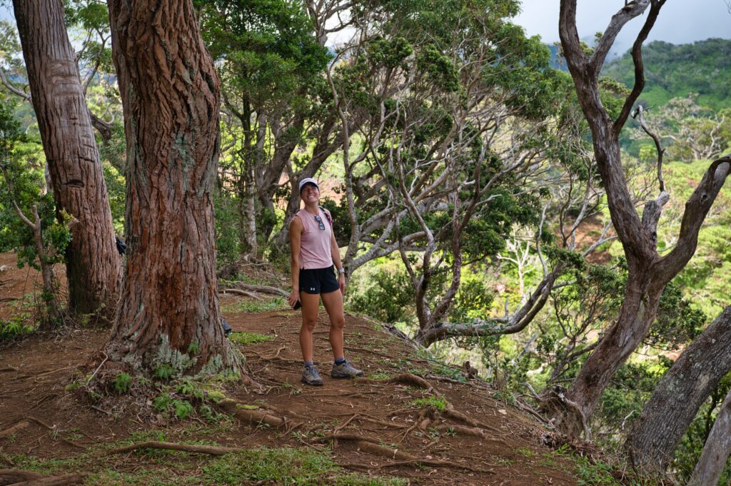
There were quite a few offshoots to go closer to the edge of the ridges. It definitely has the potential to be really muddy, and there were a few very root-y places, but overall it was very nicely even dirt.
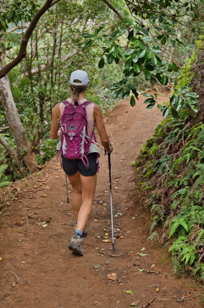
This is by far my favorite shot.
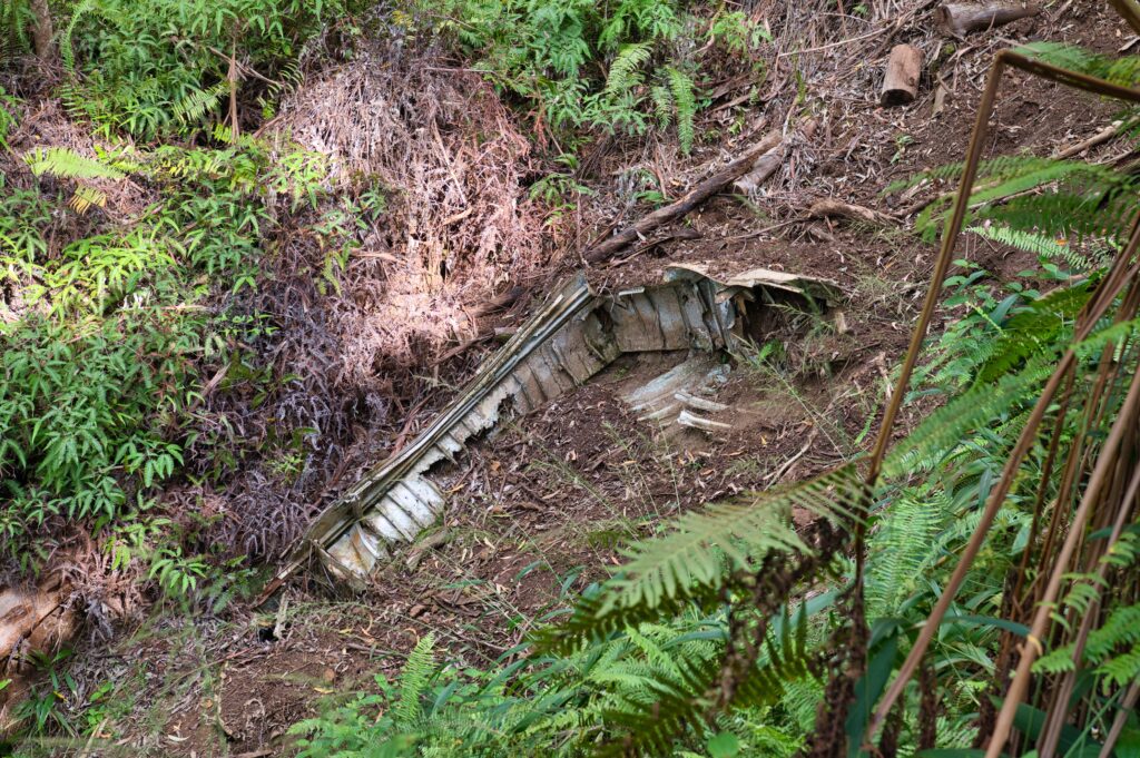
Along the way there are remains from a plane crash from WWII.
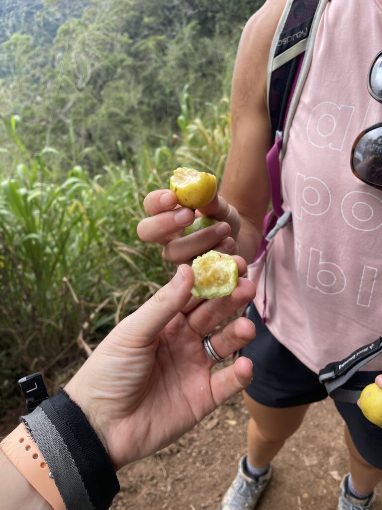
And then we saw a group of people picking fruit. We asked them about it and they gave us some, I guess they are guava berries. They followed us a bit afterward and pointed out a fruit that was more oval and said “Don’t eat those, those are poisonous”. The thought didn’t even cross my mind to think if the first food was poisonous, but thankfully I am here to tell you it wasn’t. I’ll make sure I don’t go eating random fruit off trails.
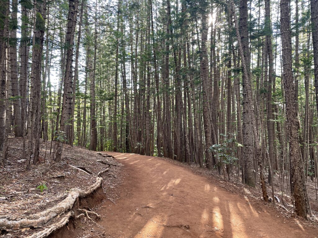
The scenery was also diverse along the way and some of the tree groves were just beautiful.
I loved loved loved this hike. Only some parts of it would be technically challenging in mud. I did borrow hiking poles from Jess, and am now convinced I’ll be buying myself some for future hikes. I brought my shoe spikes but definitely didn’t need them. I didn’t fall or slip.
