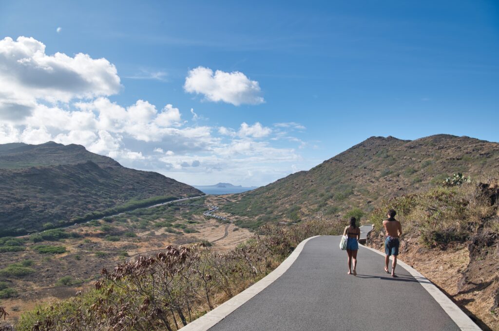
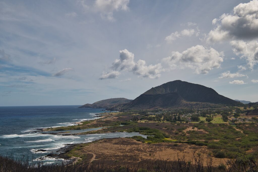
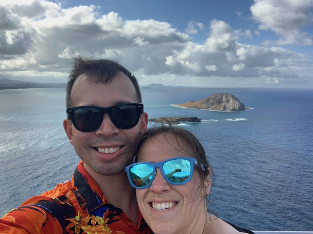
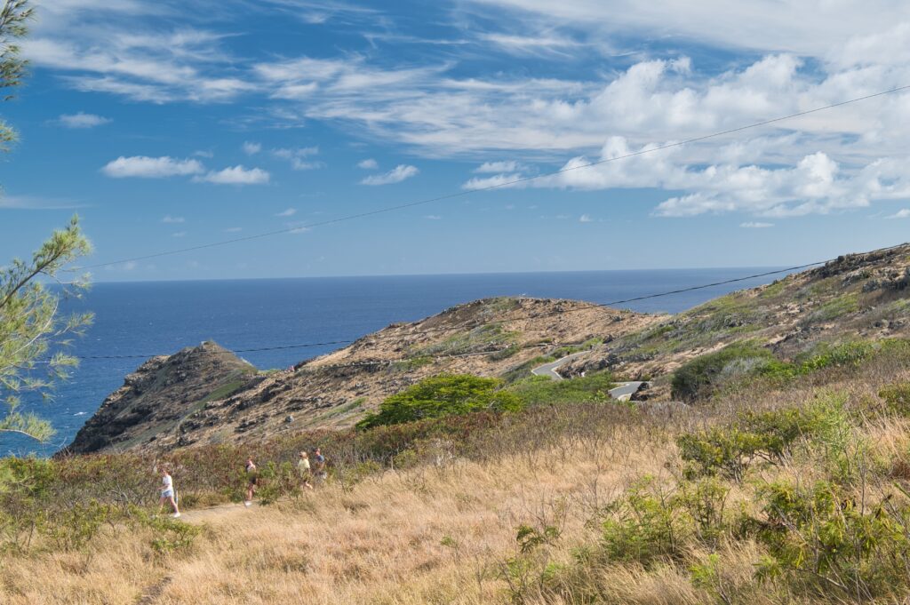
My capacity for activity is coming back finally. On June 12th we ran a 5k in the morning at the marine corps base (future post topic when we get pictures) and then went and hiked Makapu’u Pont Lighthouse trail. It’s about a mile and half up and about 500ft in elevation. It’s a really nicely paved trail that winds around both sides of the island. The first picture shows the parking lot and looking backward toward where we live. You can just barely see the ocean in the distance. On the way up there are great views of Koko Head Crater.
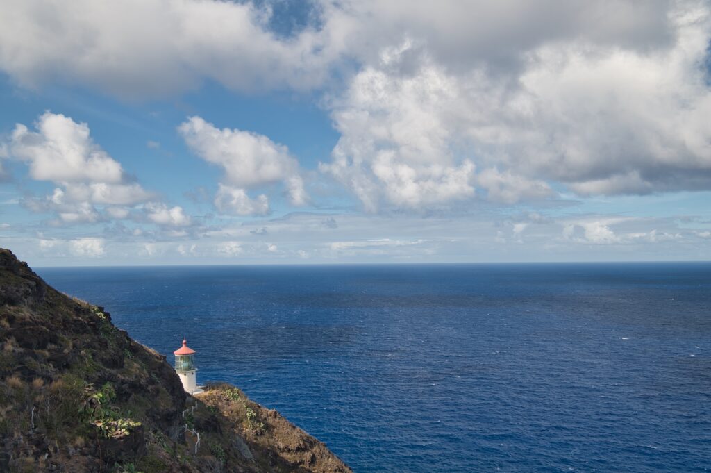
This is a very popular spot for whale watching when that’s in season (December through April). There’s ocean for days. I guess I didn’t get a picture, but at one viewing point you can see three other Hawaiian islands. This is the first view of the lighthouse you get before reaching the very top.
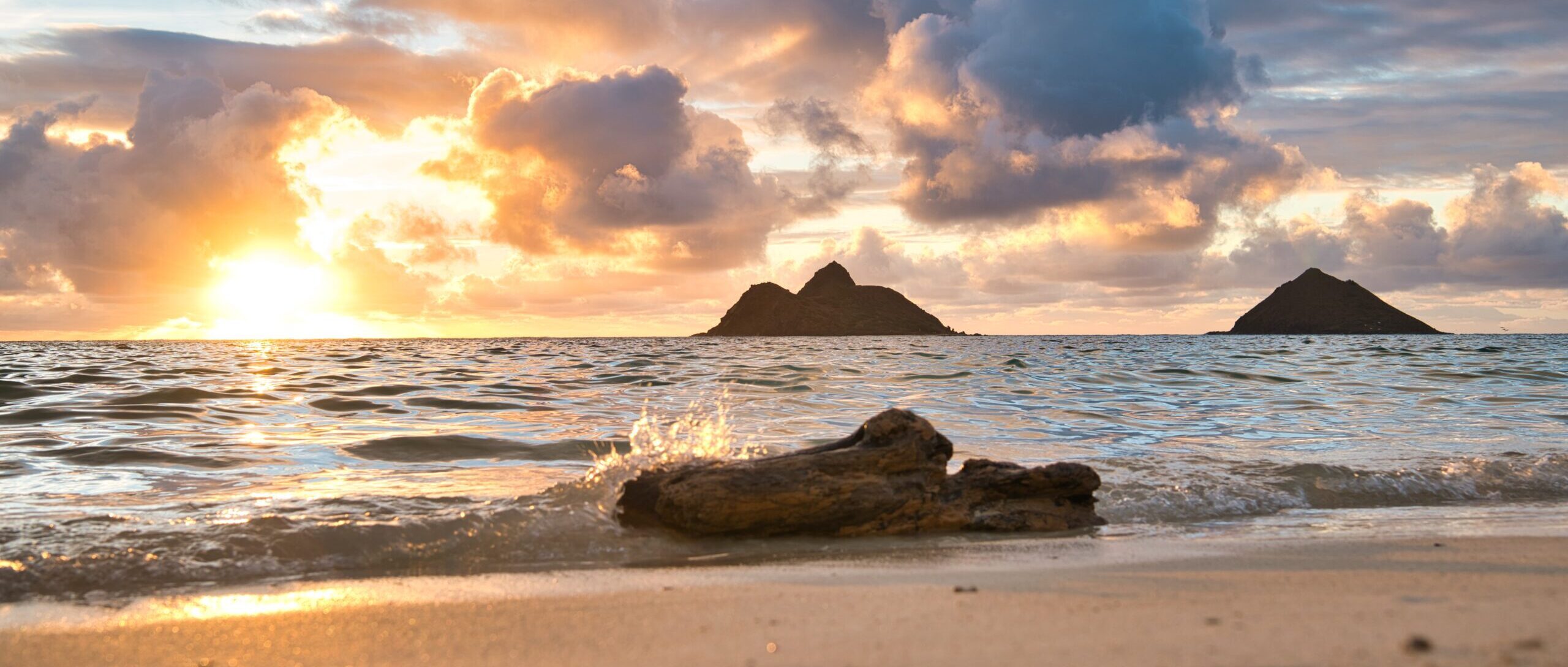
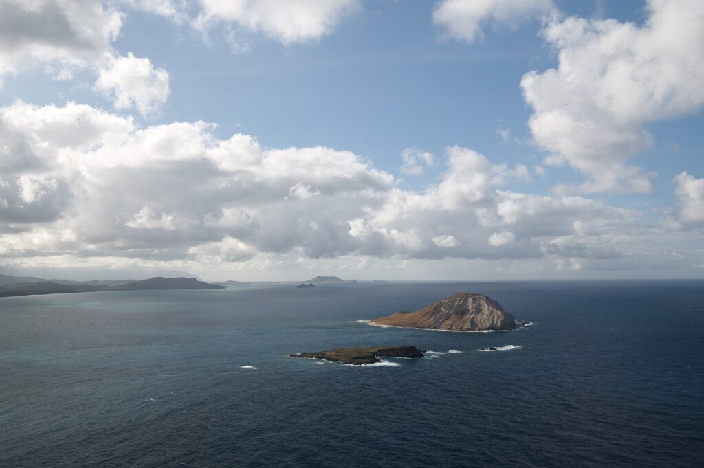
The two “mokes” that you always see in my sunrise picture are about midway out in this picture. In the very far distance you can see the marine corps base. On the left is what is considered Waimanalo.
The path is very dry and hot, so highly recommend doing it when it’s cooler and with sunscreen/sun coverage. However, we did it at 2pm and it was fine. Once you turn to the windward side again it gets breezy.
Very doable walk, just be prepared with sunscreen and water. The views are really beautiful. There are tide pools going down a different path we didn’t really know about, but will go back for. The parking was a little packed but there were spots, I think it’s a high turnover parking lot because the hike isn’t that extensive. Have it on my list to go back to for a sunrise and tide pools.